Eyeing a home with river views, bike path access, and quick trips to Providence? East Providence’s Waterfront District is changing fast, with new housing, public amenities, and a few special rules that come with living on the water. If you love the lifestyle but want to avoid surprises like flood insurance or construction impacts, you’re in the right place. In this guide, you’ll learn how the district works, what’s being built, key risks to check, and a simple buyer checklist so you can move forward with confidence. Let’s dive in.
The Waterfront District at a glance
The East Providence Waterfront District is a city-designated redevelopment area along the Providence and Seekonk Rivers. Projects here follow the Waterfront Commission’s design guidelines focused on mixed-use housing, public access, and quality design. You can review the current guidance on the City’s Waterfront Commission design guidelines page.
This corridor includes Watchemoket, Bold Point, and Kettle Point. The mix of new development and public amenities has increased demand for nearby homes and condos, especially newer waterfront units.
Neighborhood pockets to know
Watchemoket Square and Warren Avenue
This historic commercial area is being repositioned for arts and entertainment, with recent streetscape efforts aimed at better walkability and public realm improvements. Expect a small-scale, evolving corridor with growing neighborhood conveniences over time.
Bold Point and the river’s edge
Bold Point Park is a public waterfront space that has hosted seasonal concerts. A larger, permanent entertainment venue has been proposed and discussed publicly over the past few years. For homes nearby, it is smart to ask about event schedules, traffic patterns, and operating agreements. You can watch for updates through City announcements like this Waterfront Commission item.
Kettle Point: a model for redevelopment
Kettle Point transformed a former industrial site into housing, trails, and a public fishing pier. It is a good example of how the city aims to mix residential living with public access. Learn more about the pier and public benefits in the CRMC’s note on the 600‑foot fishing pier at Kettle Point.
Market snapshot for buyers
Home values across East Providence generally sit in the low-to-mid $400,000s, with waterfront and new construction commanding premiums. Pricing varies by sub-area and by specific features like views, garage parking, and trail access. For the most accurate picture, review current comps with a local agent and consider how each property’s location fits with planned projects.
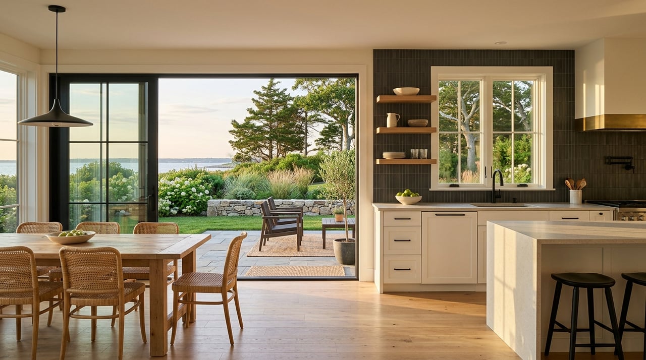
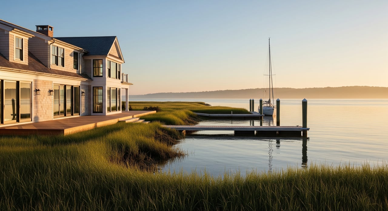
Along the shoreline, you will see a mix of modern apartments and condos, plus older single-family homes just inland. Newer waterfront buildings often offer amenities and easy links to the bike path, which can support long-term appeal.
The City has historically tied some waterfront redevelopment to on-site affordable unit requirements or payments in lieu. Policies evolve, so confirm current rules with Planning and see the City’s consolidated plan for context on affordability requirements.
Rules and permits to expect
Projects in the Waterfront District follow local design review and state coastal rules. If you plan to build, renovate, or do any shoreline work, factor in extra time for approvals. The Rhode Island Coastal Resources Management Council’s Metro Bay plan explains coastal permitting for this area. You can review the CRMC Metro Bay guidance and the City’s Waterfront Commission design guidelines to understand the basics.
Hazards, insurance, and resilience
Buying near the water brings unique risks. A little due diligence up front will protect your budget.
- Flood status and maps: East Providence participates in the NFIP and can help you determine if a property sits in a Special Flood Hazard Area, the Base Flood Elevation, and whether an Elevation Certificate exists. Start with the City’s Flood Protection and NFIP guidance.
- Flood insurance pricing: FEMA’s Risk Rating 2.0 bases NFIP premiums on property-specific factors like elevation, distance to water, and replacement cost. Two homes on the same street can have very different premiums. Before you commit, get address-level quotes. Learn how pricing works in this overview of Risk Rating 2.0.
- Sea-level rise outlook: Federal science points to measurable sea-level rise in coming decades, which can increase high-tide flooding and storm surge impacts. Review long-term maps and ask about site-specific adaptation measures. See NOAA’s primer on global sea level and projections.
Transportation and access updates
Keep an eye on the Washington Bridge and I‑195 rebuild. Construction can affect traffic patterns, ramp locations, and bike path connections for several years. Check RIDOT’s project page for schedules and updates on the Washington Bridge Rebuild.
A smart buyer’s checklist
Use this quick list to focus your due diligence.
- Confirm flood zone and insurance
- Ask the City about SFHA status, BFE, and elevation certificates. Obtain NFIP and private flood quotes for the address.
- Order specialized inspections
- In addition to a standard inspection, consider evaluations for moisture, corrosion, seawalls, docks, and shoreline structures where applicable.
- Review disclosures and claims
- Request records of water intrusion, flood claims, and permitted shoreline work. Ask about any special assessments tied to infrastructure.
- Verify utilities and site history
- Confirm sewer vs septic, utility capacities, and any brownfield remediation documents if the site was redeveloped.
- Check coastal permits early
- Shoreline projects often need CRMC and local permits. Timelines can impact your plans and budget.
- Visit at different times
- Stop by on weekday mornings, weekend afternoons, and evenings in peak season to gauge traffic, noise, and event activity.
- Understand HOA or condo obligations
- Review budgets, reserves, and maintenance plans, especially for marine structures and exterior components.
- Plan for long-term resilience
- Ask about elevation, drainage, backup power, and floodproofing features that can help with safety, insurance, and resale.
Bottom line
East Providence’s Waterfront District offers a compelling blend of riverfront living, trail access, and growing amenities. With that appeal comes a few extra steps on insurance, permitting, and understanding nearby projects. If you do the homework upfront, you can enjoy the lifestyle and protect your investment over the long term.
Ready to explore the right waterfront fit for your goals and budget? Connect with The Blackstone Team for local guidance, data-driven pricing, and a smooth path from tours to closing.
FAQs
Do East Providence waterfront homes require flood insurance?
- If your lender requires it and the home is in a FEMA Special Flood Hazard Area, you will need flood insurance. Many buyers carry it even when not required due to coastal exposure.
How much does flood insurance cost in the Waterfront District?
- Premiums vary by address under Risk Rating 2.0. Factors include first-floor height, foundation type, distance to water, and replacement cost. Always get a quote for the specific property.
What should I know about the Bold Point concert venue?
- Seasonal events and a proposed permanent venue can influence traffic and noise at certain times. Ask about current plans, event calendars, and any operating conditions before you buy nearby.
Can I add or rebuild a dock on my property?
- Possibly, but shoreline work often needs CRMC and City permits. Start with a feasibility review before you budget for design or construction.
Will Washington Bridge work affect my commute from East Providence?
- Construction can alter traffic patterns and ramp access for several years. Check current schedules and detours to understand impacts from your specific location.